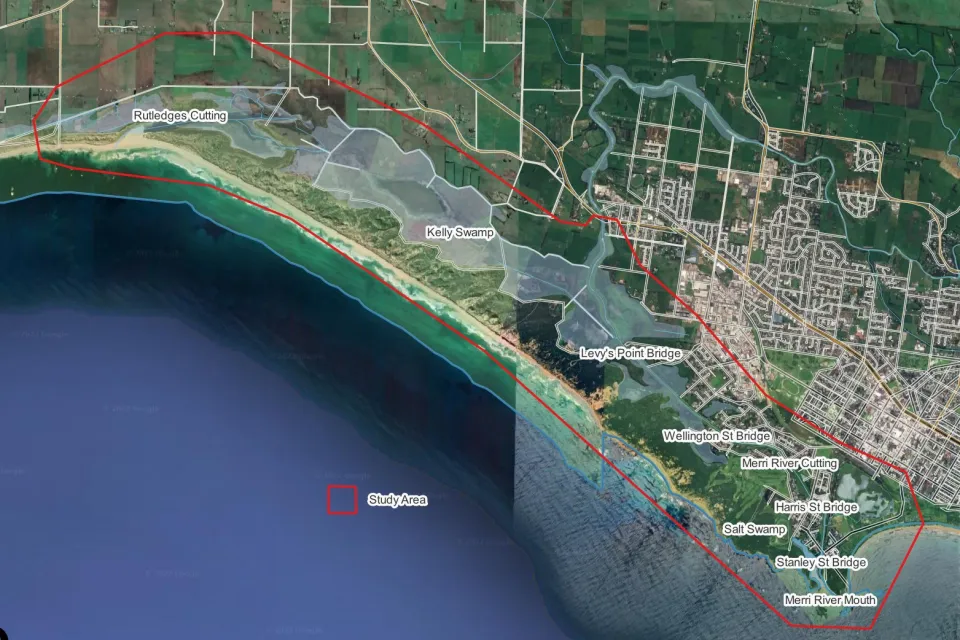
Warrnambool City Council undertaking new flood modelling of the Merri River catchment in South Warrnambool.
The South Warrnambool Flood Investigation will cover an area from Rutledges Cutting to the mouth of the Merri River.
The new study will expand on a 2007 study by adding storm tide flood risk mapping and looking at how development in the area is affected by flooding.
The investigation will look at the risk risks posed by large storm tide events and by the worsening flood risk profile due to the effects of climate change.
The updated knowledge on climate change-induced extreme events, sea level rise and storm tide flooding will enable more effective planning for South Warrnambool.
Ultimately the investigation will result in an amendment to the Warrnambool Planning Scheme that will include revised flood mapping and land use controls.
The investigation will also:
- assess the feasibility of establishing flood alerting/warning arrangements (including for significant storm tide events);
- provision of reliable flood risk information for insurance purposes;
- provision of flood mapping and intelligence products for the entire project area to inform and develop emergency response planning and build community flood resilience; and,
- assess the feasibility of structural flood mitigation works.
South Warrnambool residents are encouraged to become involved in the project by providing information on anecdotal and lived experiences.
Via the survey below you can share flood information and relevant flooding images to help build a complete picture of flooding across the South Warrnambool area, including Merrivale.
Information collected as part of the survey will be used in accordance with Council's Privacy Policy
Having trouble viewing the survey? Use this link instead
