A video recording of the community meeting held on December 11, 2024, to discuss the flood investigation is available here.
The next steps in this project will include:
- Complete the investigation in early 2025
- Council formally adopts the Final Summary Report
- Work with Department of Transport and Planning to implement interim LSIO (Land Subject to Inundation Overlay) as soon as possible to prevent development in unsafe locations
- Get funding to complete a Planning Scheme Amendment to update the flood zones and overlays (Some groundwork already complete)
- Another round of community engagement around the proposed planning overlays
- Complete the Planning Scheme Amendment to enshrine the new LSIO and FO (Flood Overlay) in the Planning Scheme
- Consider full feasibility study of structural mitigation based on the outcome of the pre-feasibility analysis
- Consider non-structural mitigation actions (flood portal, additional flood gauge, flood warning system, etc)
- Ongoing communication with community members regarding their flood concerns
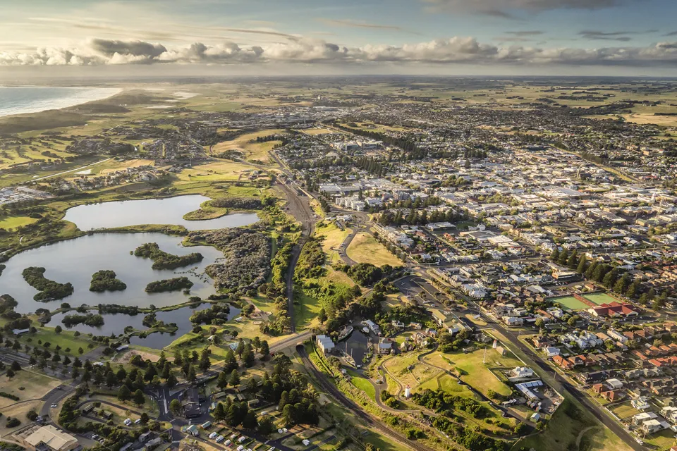
Warrnambool City Council is undertaking new flood modelling of the Merri River catchment in South Warrnambool. The South Warrnambool Flood Investigation covers the area from Rutledges Cutting (in Moyne Shire) to the mouth of the Merri River, and upstream to the Princes Highway Bridge in Dennington. The new study updates and expands on the 2007 study.
The investigation will look at the risks posed by large storm tide and riverine flood events and the worsening flood risk profile due to the effects of climate change. Updated knowledge on climate change-induced extreme events, sea level rise and storm tide flooding will enable more effective planning for South Warrnambool. Ultimately the investigation will result in an amendment to the Warrnambool Planning Scheme that will include revised flood mapping and land use controls. The investigation will also:
- assess the feasibility of establishing flood alerting/warning arrangements (including for significant storm tide events);
- provide reliable flood risk information for insurance purposes;
- provide flood mapping and intelligence products for the entire project area to inform and develop emergency response planning and build community flood resilience; and,
- assess the feasibility of structural flood mitigation works.
The Glenelg-Hopkins Catchment Management Authority is managing the project in conjunction with Warrnambool City Council, with detailed technical work being carried out by Venant Solutions.
The project partners wish to thank the community for providing information that has helped calibrate modelling for the flood investigation.
The next community engagement meeting will be held at the Merrivale Football Netball Club from 5pm on Wednesday, December 11.
This meeting will include presentations on:
- project progress since the previous community meetings;
- flood mapping;
- results of the flood mitigation options analysis;
- draft planning overlays; and,
- the next steps in the project.
Note: mitigation options are on-ground works to protect an area of land from inundation up to a certain level. Mitigation works can never be expected to completely remove the risk of floodplain land from ever flooding again. Constraints imposed by financial cost of implementation and potentially negative social and environmental costs, always limit to some degree, the amount of protection that can be realistically achieved from mitigation works. In some instances, the mitigation analysis process completed by a flood investigation will show that there are no feasible mitigation options.
Flood mapping for the investigation is available here.
Those unable to attend the meeting can submit questions or concerns via:
Email: [email protected]
Phone: 559 4800
In person: Civic Centre, 25 Liebig Street, Warrnambool
By post: PO Box 198, Warrnambool 3280
If you have any enquiries, concerns or comments regarding the project please contact Peter Reid on 5559 4800 or via email on [email protected]