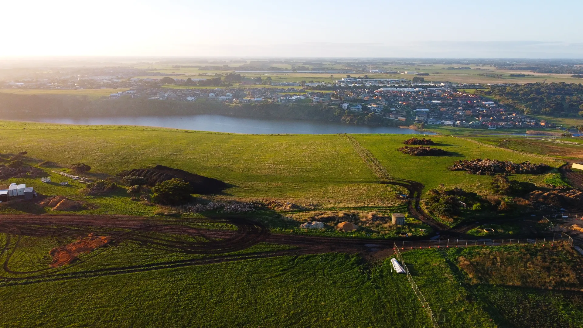
As Warrnambool City grows, it may be time to rethink how our official localities are named and mapped.
Fill in the survey at the bottom of this page to tell us what you think about existing locality names and whether Council should review them to better describe the areas where you live, work and play. A review could also recommend unique names for our growth areas.
A hard copy of the survey can also be filled in at the Civic Centre or mailed/emailed to you on request [email protected]
Why review our locality names?
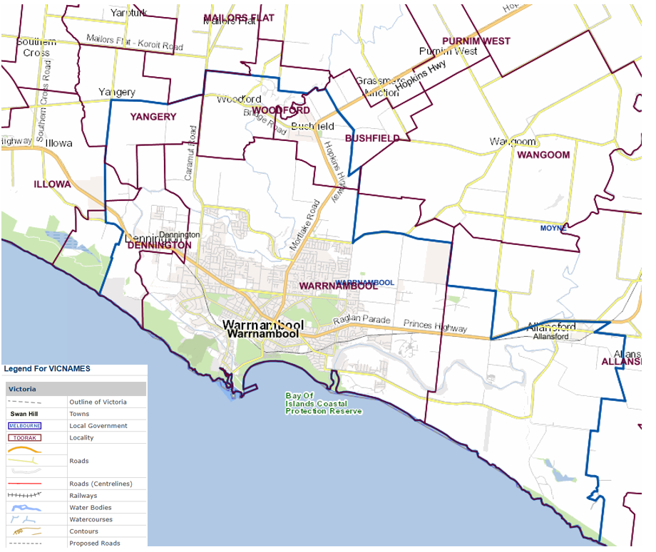
Warrnambool City Council area has 7 official locality names (Warrnambool, Dennington, Illowa, Yangery, Woodford, Bushfield, Allansford) and all of these locality names are shared with Moyne Shire. Two of these localities, Warrnambool and Dennington, house approximately 94% of our 36,000+ residents.
Place names like Merrivale, North Warrnambool, East Warrnambool, South Warrnambool, West Warrnambool and Hopkins Heights are not official localities, recognised by the Geographic Names Victoria and therefore cannot form a part of a resident’s official address.
Warrnambool Localities 2025
There has not been an official review of Warrnambool City’s locality names in documented history, even though Warrnambool has grown into a City with over 35,000 people and projected to grow to 41,000 by 2046 (source: State of Warrnambool Report, SGS Economics 2025). There are new residential areas developing in Warrnambool where names could be set by market forces, rather than the community or Council.
As they have grown, other regional cities like Wodonga, Ballarat, Geelong, Shepparton and Mildura have officially recognised different localities within their local government area.
Frequently Asked Questions
What is a locality?
A locality is a geographical area that has identifiable community and/or landscape characteristics. In urban areas, a locality is commonly referred to as a ‘suburb’. The state is divided into official localities. There are over 2,900 localities within Victoria.
Every locality should have a unique and unambiguous name. It must have recognised and registered boundaries and not overlap with other localities. A locality provides an official reference area for addressing purposes. New locality names cannot use directional language e.g. north, south, east or west.
A named neighbourhood is not a locality because it does not have officially recognised and registered boundaries; therefore, a neighbourhood name cannot be used for addressing purposes.
A named residential estate is not recognised as a locality name.
Why do locality names matter?
Better defining locality names and boundaries in a growing Warrnambool can:
- Officially recognise the way the community already identifies with their local area e.g. Merrivale
- Facilitate a sense of community identity and cohesion in established and growth areas
- Provide clear, unambiguous locality names and well-defined boundaries for emergency service organisations
- Make it easier for people to find their way around the City
- Reflect changing land use and development patterns
How are localities officially mapped and named?
Naming rules for places in Victoria have been established under the Geographical Place Names Act 1998. This defines who can name roads, features and localities in Victoria, who oversees the process, what principles must be followed, and what consultation must occur. The Naming Rules do not allow new localities to use directional language e.g. north, south, east or west.
Where do I find out more about the process for naming localities?
Visit the department of Transport and Planning websitehttps://www.land.vic.gov.au/place-naming/naming-rules-and-frameworks/the-naming-rules It includes step by step information on naming, renaming or changing the boundaries of roads, features and localities in Victoria.
How will Council use your feedback?
We will use your feedback to determine whether there is community support to start a Locality Names Review in 2026. If the community believes a review is warranted, we will use your feedback to develop the scope and detailed plan for a review project.
If a review progresses in 2026, we will ensure there is a wide range of opportunities for the community to help us develop a proposal for new locality names and boundaries.
Your Privacy
The personal information requested is being collected by Warrnambool City Council for the purpose of verifying the source of feedback for this survey. The personal information will not be disclosed to any other external party unless permitted under the Information Privacy Principles. If you wish to alter any of the personal information you have supplied to Warrnambool City Council, please contact Council via telephone 5559 4800 or email [email protected]